
Alhambra Valley, CA
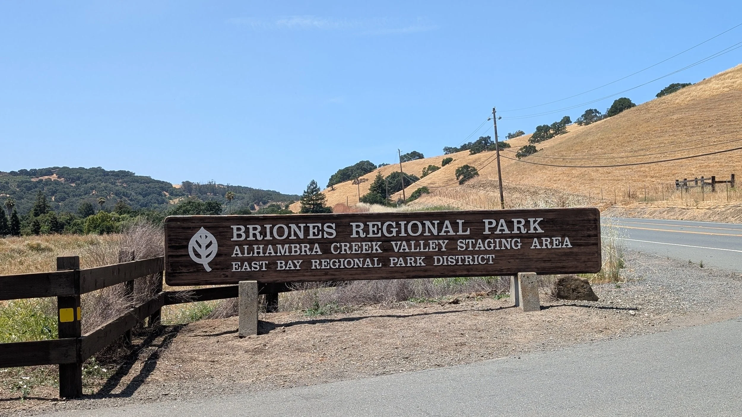
Briones Regional Park
Alhambra Valley, named originally Cañada del Hambre (“Valley of Hunger”), is nestled just east of Briones Regional Park. The locale did not formally appear as a census-designated place until the 2010 U.S. Census, and today remains an unincorporated part of Contra Costa County. Spanning roughly 1.6 square miles, the valley features oak-studded hillsides, vineyards, and creekside orchards that reflect its 19th-century ranching and farming roots. Today, Alhambra Valley retains a peaceful, low-density charm with custom homes and open land, making it a desirable place for those seeking a country lifestyle within reach of urban amenities. Its proximity to Briones Park also offers residents easy access to hiking and nature.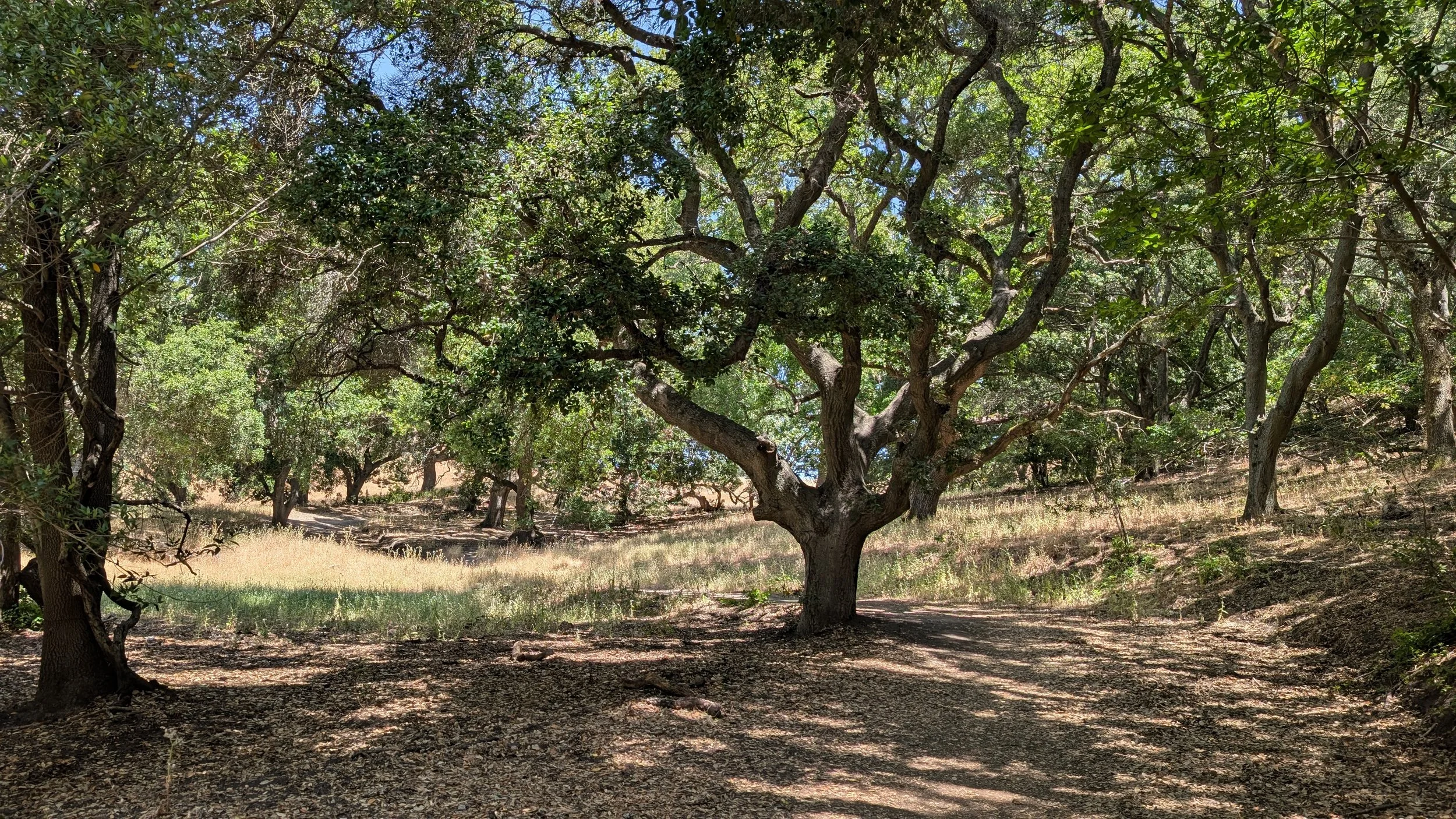
Diablo View Trail
Briones Regional Park is a vast 6,117-acre preserve located in the Briones Hills of Contra Costa County, offering a peaceful retreat from the bustle of the Bay Area. Known for its rolling grasslands, oak woodlands, and panoramic ridge views, the park is popular for hiking, horseback riding, biking, and nature observation. Its highest point, Briones Peak, provides stunning vistas of Mount Diablo, the Sacramento Delta, and surrounding hills. Wildlife such as deer, hawks, coyotes, and seasonal newts are commonly seen along its trails.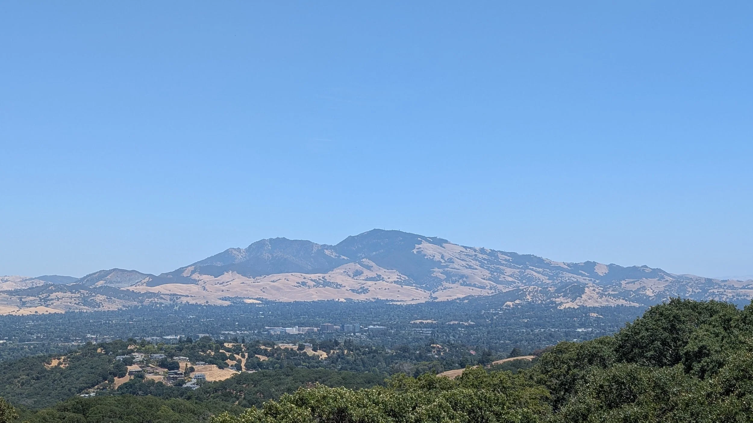
Mount Diablo
Briones Regional Park has a rich history rooted in California's early ranching and land grant era. The land was originally part of the Rancho Boca de la Cañada del Pinole, a Mexican land grant awarded in 1842 to Felipe Briones, a Californio settler. The Briones family used the land primarily for cattle grazing, which continued well into the 20th century. In the 1960s, the East Bay Regional Park District (EBRPD) began acquiring parcels of the area to establish a public park, officially opening Briones Regional Park in 1967. Many of the ranching traditions have been preserved under long-term leases, allowing cattle to still graze in the park as part of land management.Alhambra Valley Stats
County: Contra Costa
Founded: ~1842
Area: 1.61 sq. mi.
Elevation: 525 ft
Population: 915