
San Leandro, CA
San Leandro
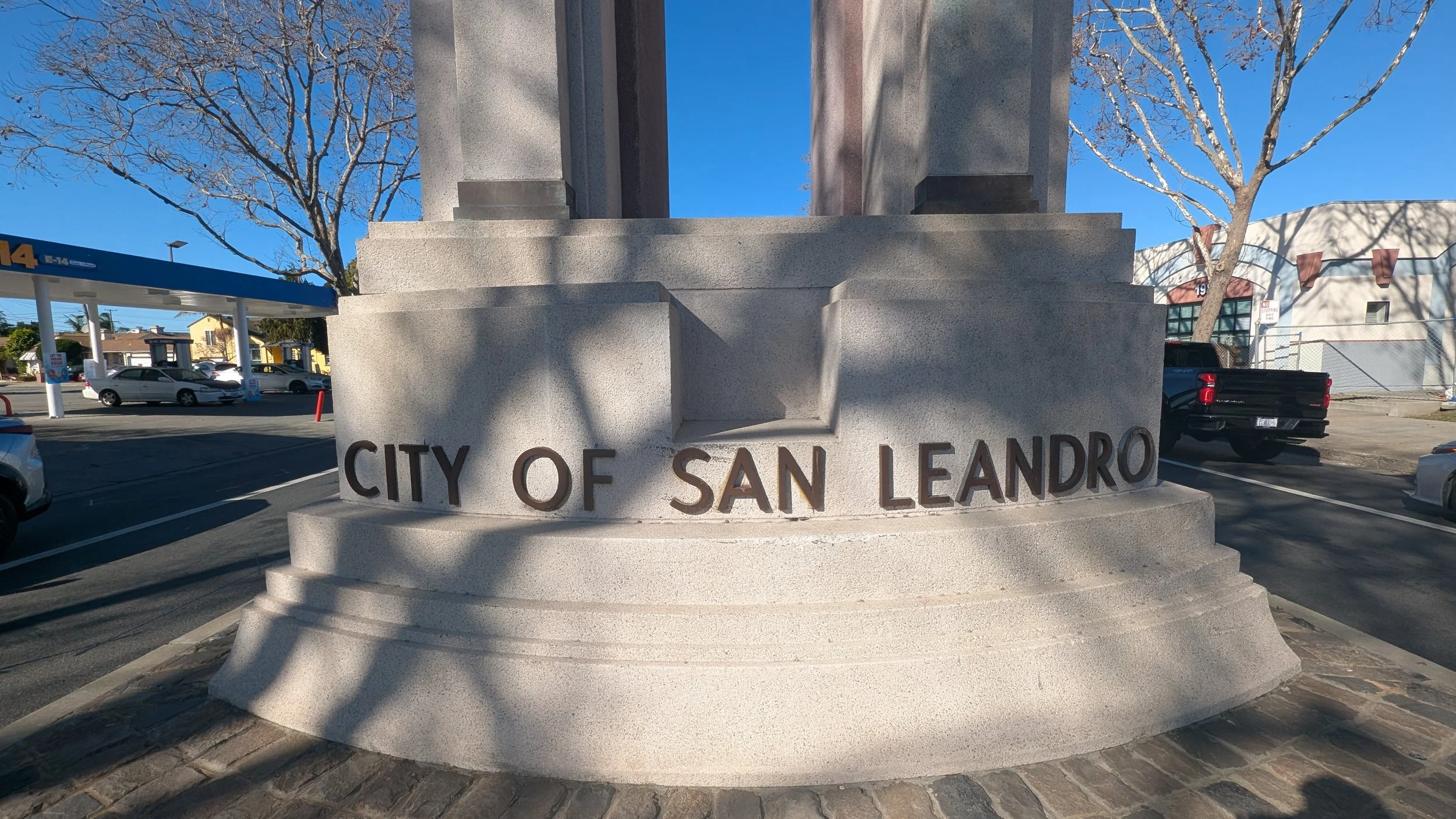
San Leandro, California was originally inhabited by the Ohlone people before becoming part of the Spanish land grant system as Rancho San Leandro in 1842. The settlement developed along El Camino Viejo, the main road connecting Spanish missions in the East Bay. San Leandro served as the first county seat of Alameda County from 1853 until 1872, when it was moved to Oakland. The city was incorporated in 1872 and grew through agriculture, particularly wheat and dairy farming, before expanding further with the arrival of the railroad and industrial development in the early 20th century.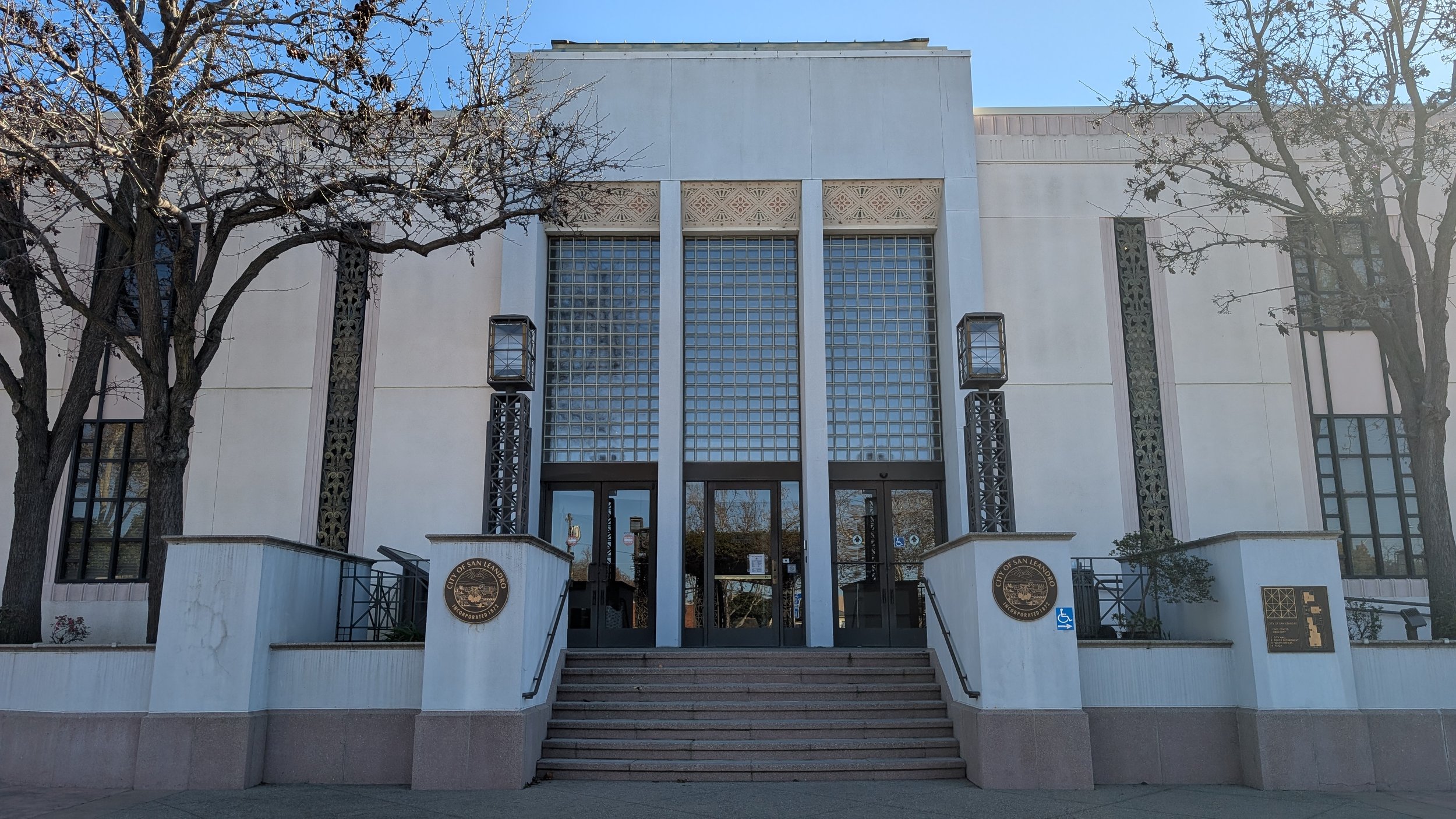
San Leandro City Hall
San Leandro is located in western Alameda County in California’s East Bay, along the eastern shore of San Francisco Bay. It sits south of Oakland and north of Hayward, bordered by the Bay to the west and the East Bay Hills to the east. Major transportation routes including Interstate 880, Interstate 580, and the San Leandro BART station connect the city to Oakland, San Francisco, and the broader Bay Area.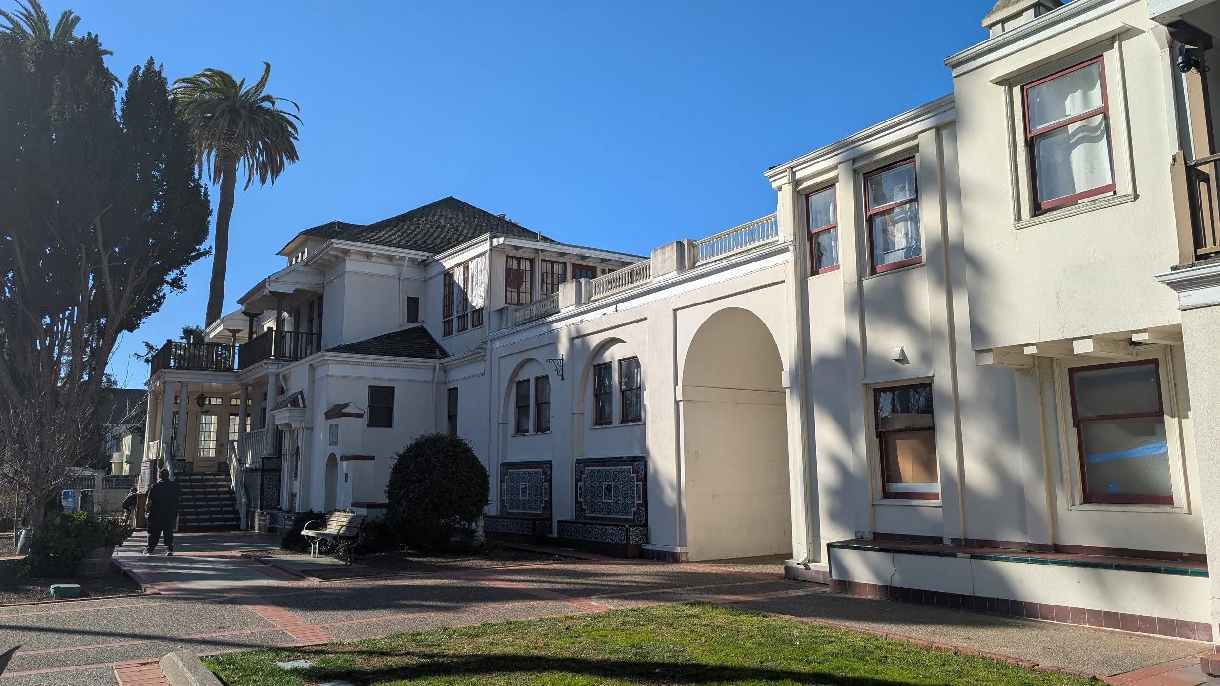
Casa Peralta
Casa Peralta is a historic home in San Leandro built in 1901 by Ludovino Peralta, a descendant of the Peralta family of Rancho San Antonio. Originally designed in the Colonial Revival style, the house was remodeled in 1927 into a Spanish Revival style, featuring decorative tiles, gardens, and a tower reflecting Spanish heritage. It was added to the National Register of Historic Places in 1982 and is preserved today as a museum highlighting local and Peralta family history.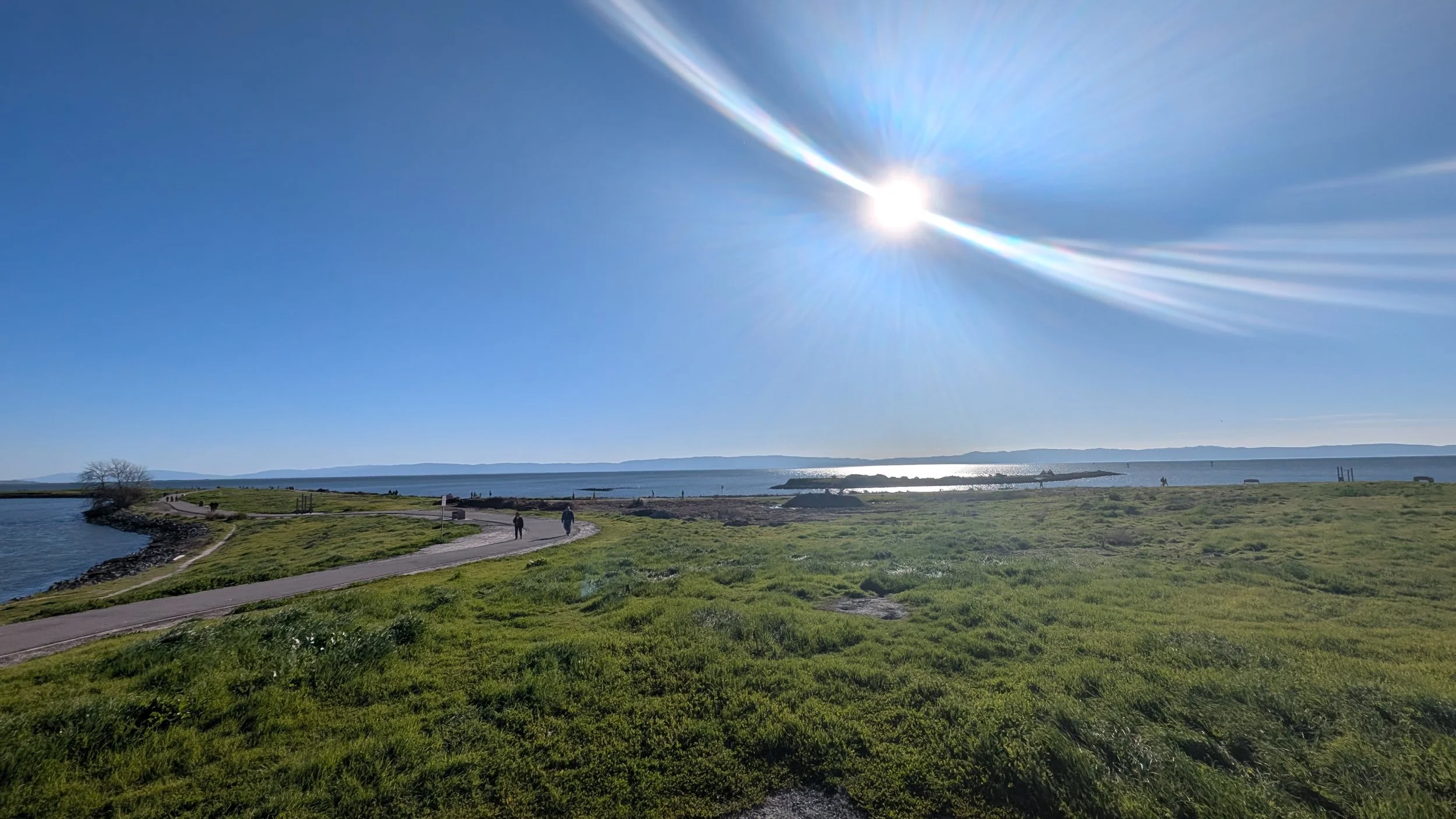
Marina Park
Marina Park is part of the San Leandro shoreline along the eastern edge of San Francisco Bay. The area was historically used for fishing and oyster harvesting before being developed by the City of San Leandro in the mid-20th century. A small boat harbor and surrounding parkland were constructed beginning in the 1960s, with expansions and improvements continuing through the 1970s and 1980s, establishing the marina and park as a public recreational waterfront.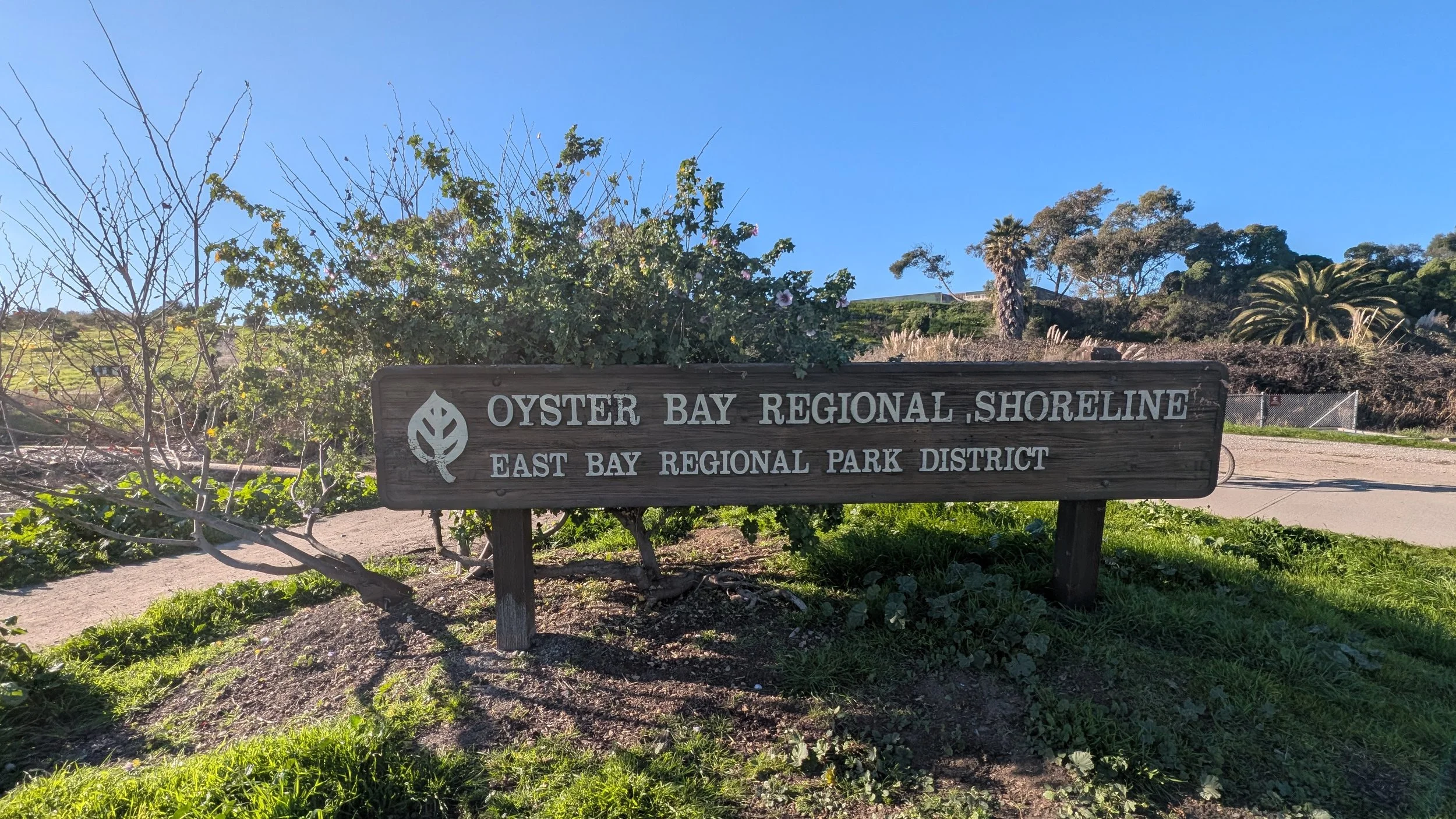
Oyster Bay Regional Shoreline
Oyster Bay Regional Shoreline is a regional park in San Leandro along the eastern shore of San Francisco Bay, managed by the East Bay Regional Park District. The area was historically part of extensive oyster beds and marshlands used for shellfish harvesting in the late 19th and early 20th centuries. Over time, portions of the shoreline were altered by landfill and industrial activity before being preserved and restored as public open space. Today, the park includes bayfront trails, wetlands, and views of the San Francisco skyline, serving both recreational and habitat-protection purposes.San Leandro Stats
County: Alameda
Incorporated: March 21, 1872
Area: 15.48 sq. mi.
Elevation: 56 ft
Population: 91,008